Explore NM {Capulin Volcano}
Road trips tend to take us extra long. We often make side stops to explore along the way. Some days I just want to get to our destination, but in the end I have yet to regret a side stop. On our way to Colorado we drove through Capulin, NM. Chris is an expert at finding random locations nearby (I’ll post more on that later). He found some information on Capulin Volcano. Oddly, there really aren’t very many signs in the area about the volcano. You could easily drive by and not even realize what is just a couple miles off the road.
I forgot to take a photo from a distance, so here is one from the official site (so you can see what you are looking for!). You can see the road that winds around the volcano to the top.
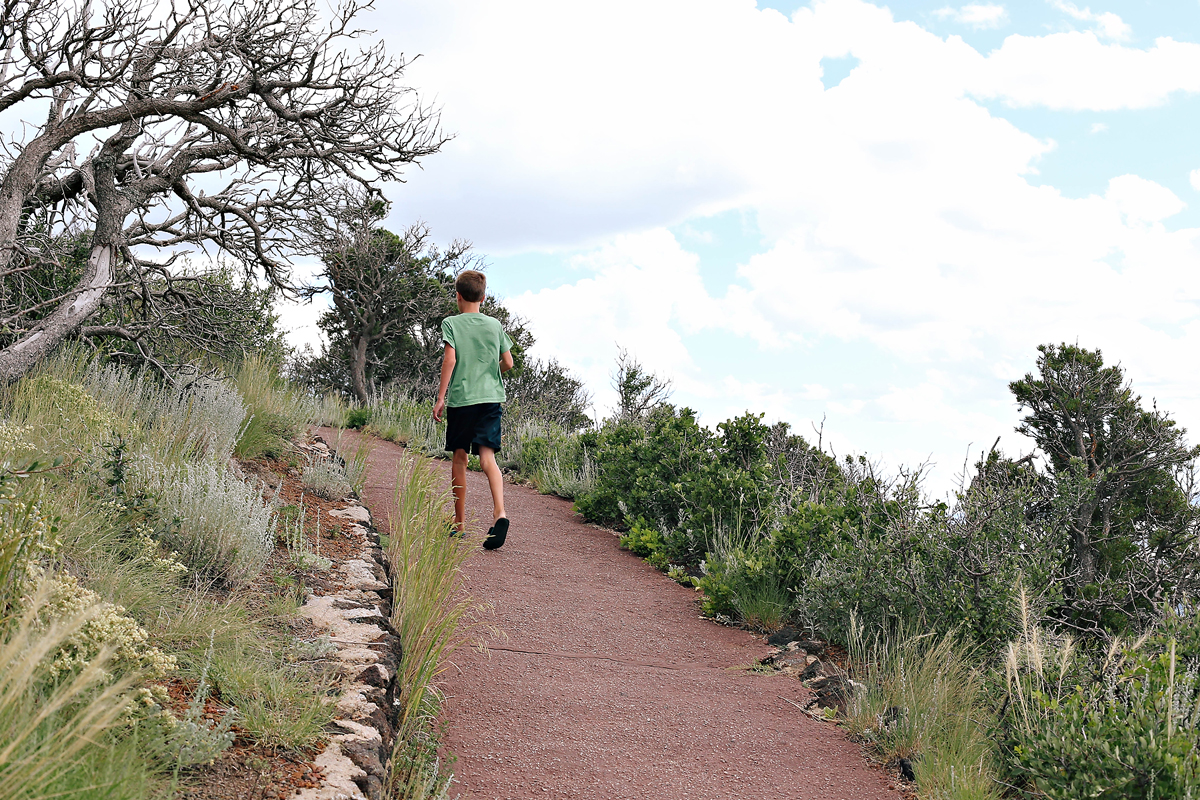
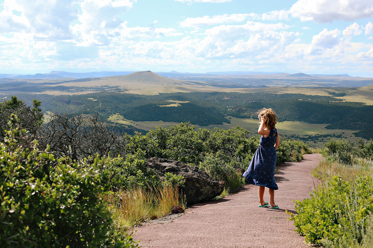
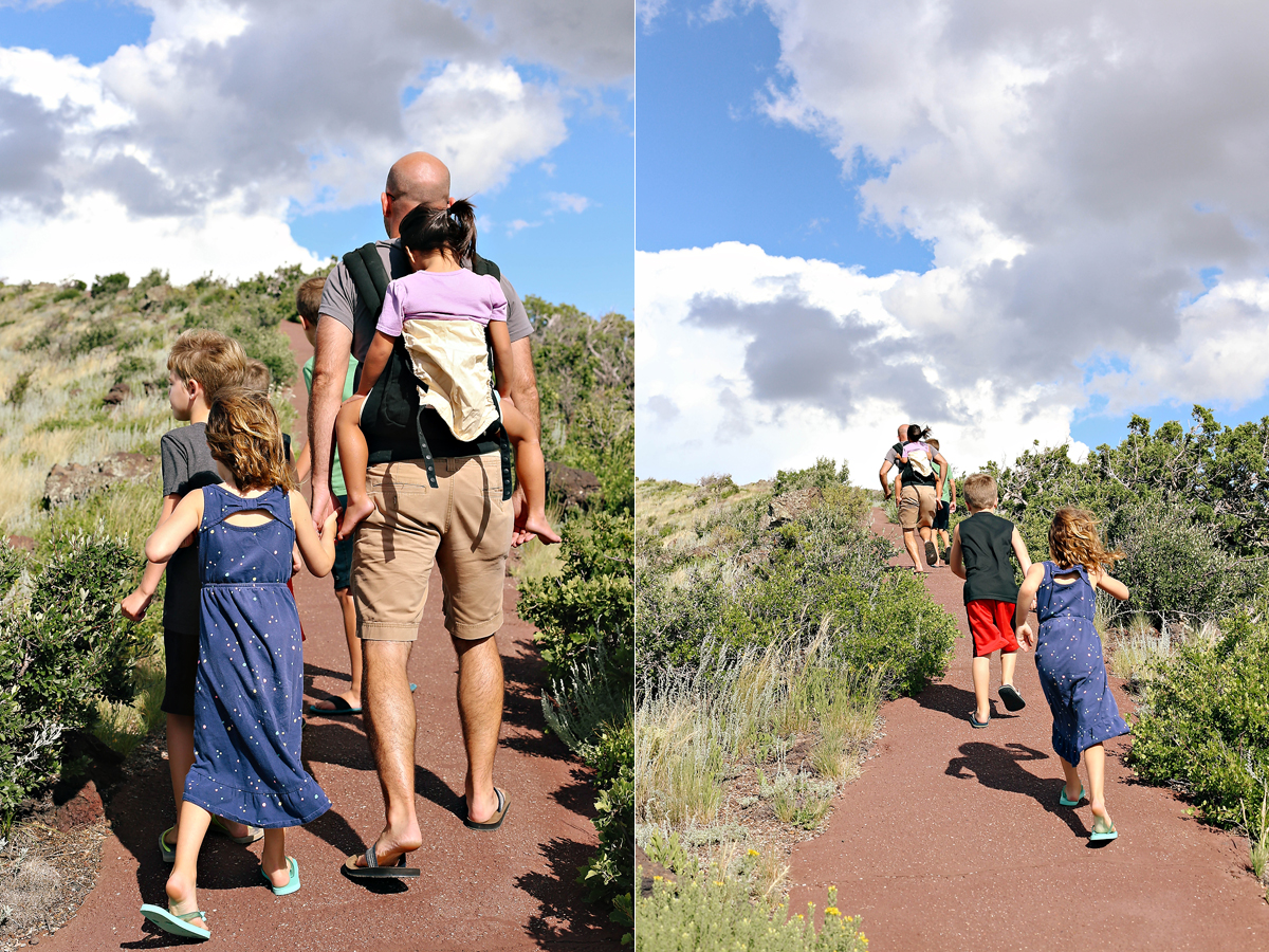
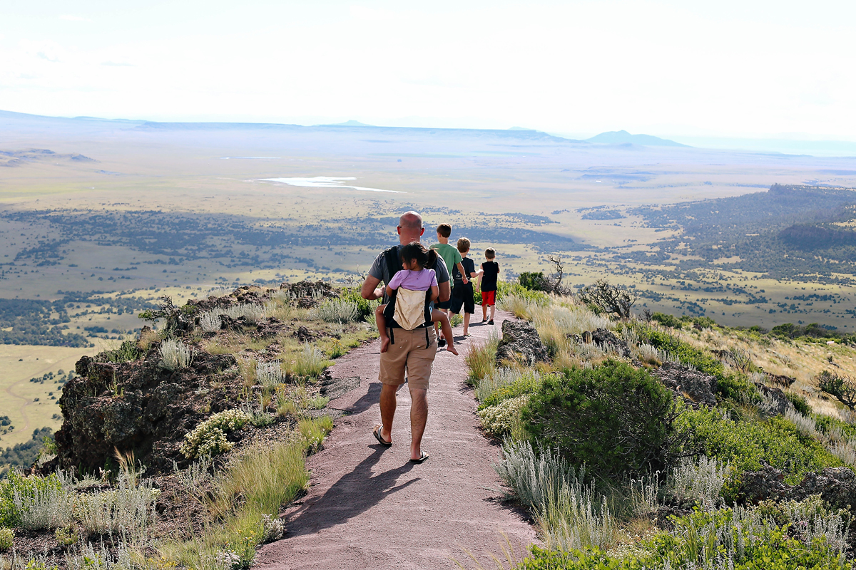
 Once you get near the top there is a paved path that goes along the whole rim. It was a really easy hike for the kids, only about one-mile long.
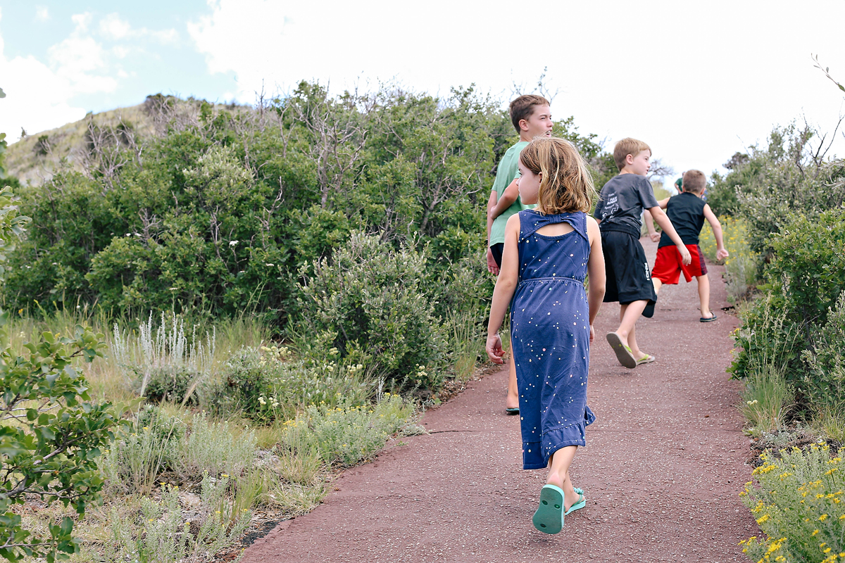
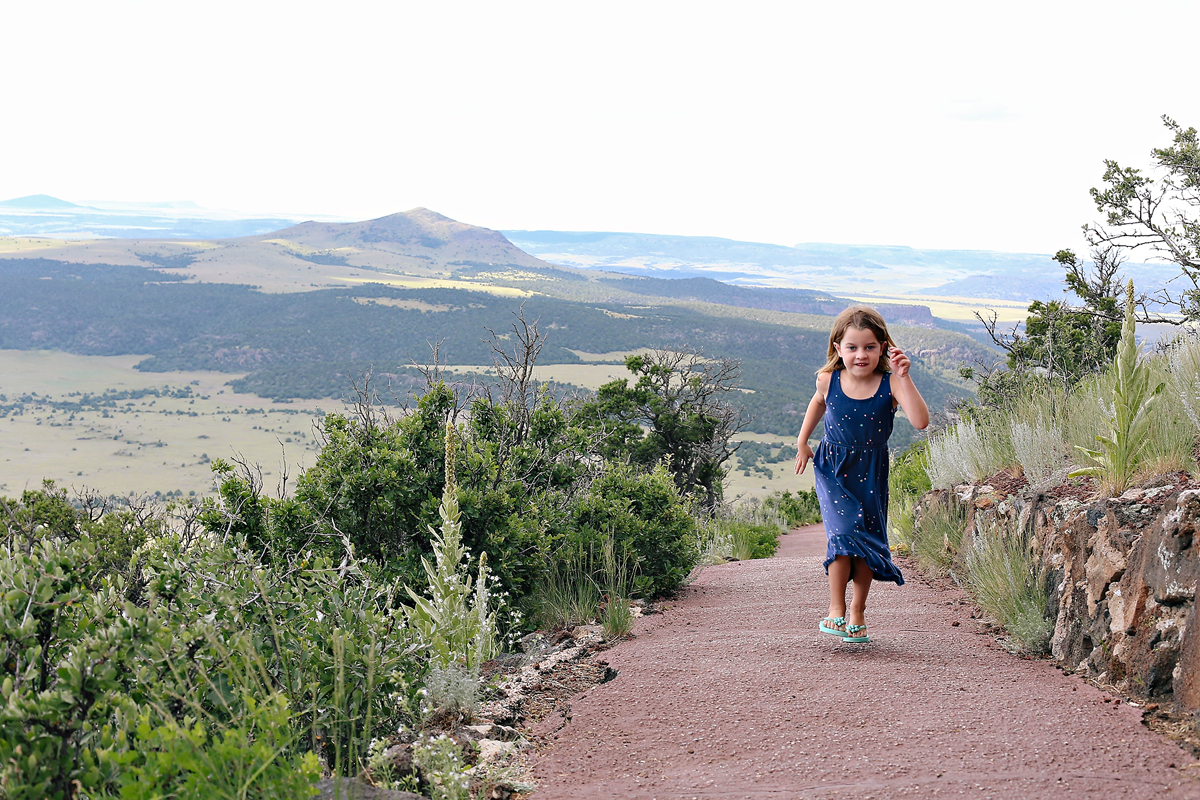
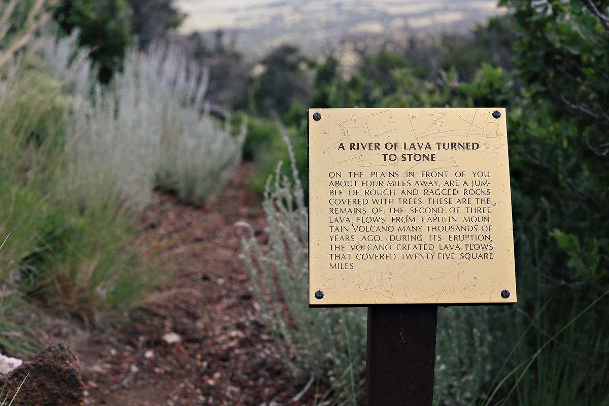
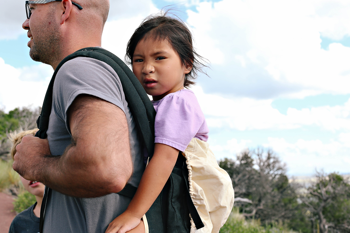
 She kept making this face when I would hold up my camera. I’d take a photo and she’d ask to see it. Then laugh. So much personality in such a little body. She also totally could have made this climb, but she has a daddy wrapped around her spunky finger.
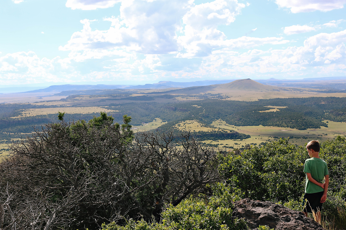
 The view was breathtaking. I kept telling the kids, “We are standing on a volcano!!” It was pretty cool.
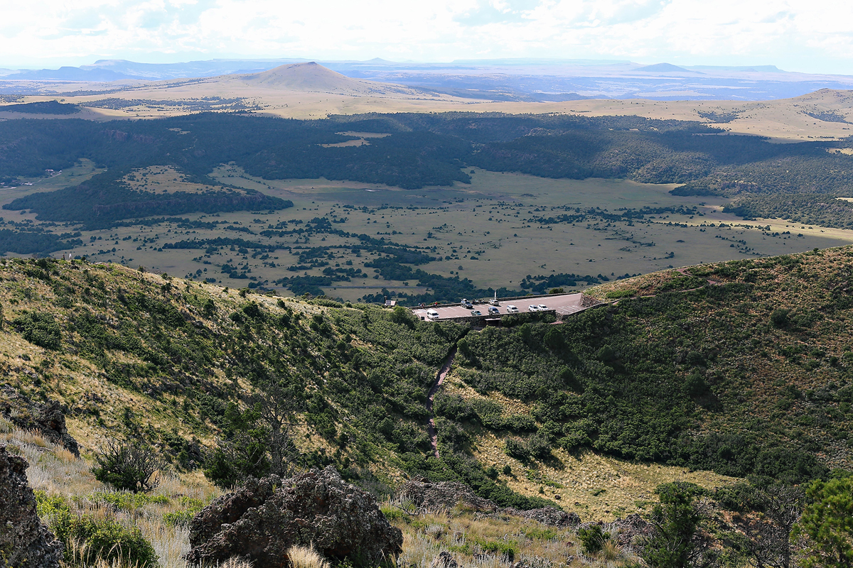
 This shot is looking down into the plugged vent of the volcano, you can also see the parking lot.
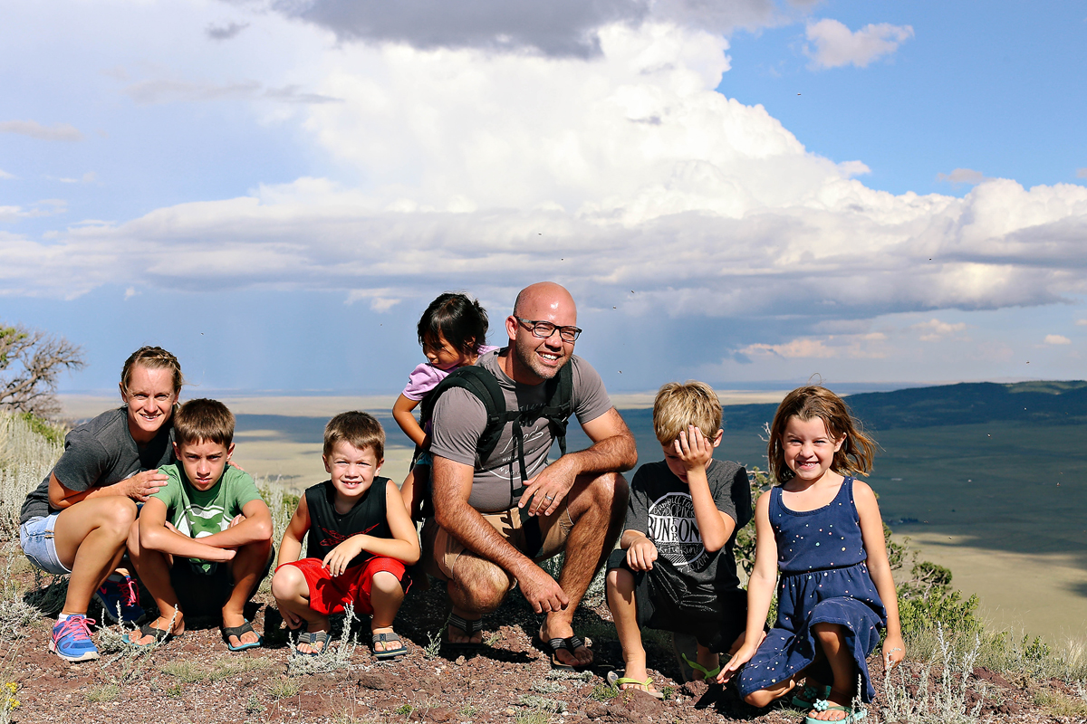
 Hey kids, let’s try to take another family shot while we all look directly into the sun. It will be awesome.
 According to the park information, Capulin Volcano erupted and formed 60,000 years ago. We’ll be studying volcanoes this year as part of our science curriculum, so I am excited for the kids to look back at this experience. It is a bit out of the way for most travelers, but if you are driving down Highway 64/87 in northeastern New Mexico, I definitely recommend the stop.
You can find out more information about the park by visiting the National Parks website.
The whole rim trail is only one-mile and it is paved. We did fine in flip flops with a couple water bottles. The park closes at 5:00pm, so keep that in mind. We only had about 30 minutes, so we had to rush a bit. From the top you can see formations in New Mexico, Colorado and Oklahoma.


