Explore MT {Pompeys Pillar}
One of our favorite things to do on road trips is to use the Trip Advisor app and look up Points of Interest as we drive down the road. Actually, Chris is the one that does it, but I am happy to follow along. Over the years we’ve ended up visiting incredibly cool, random places.
As we drove across Montana and then across North Dakota, Chris had the app going. At one point I noticed he started to exit and then I saw the sign, “Pompeys Pillar.”
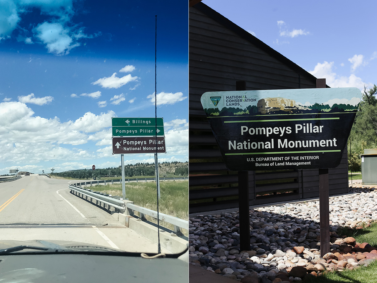 My oldest daughter saw the sign too. She immediately squealed, “Are we going somewhere Sacagawea visited?” Her guess was correct.
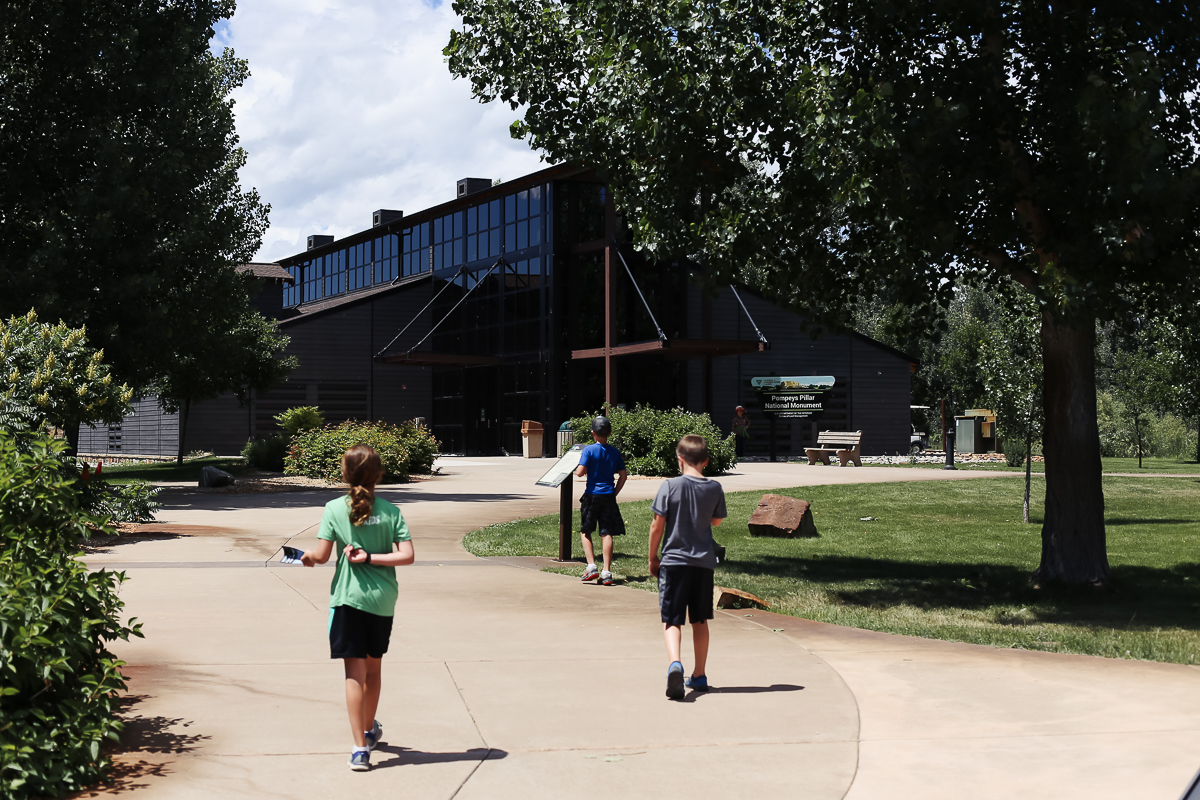
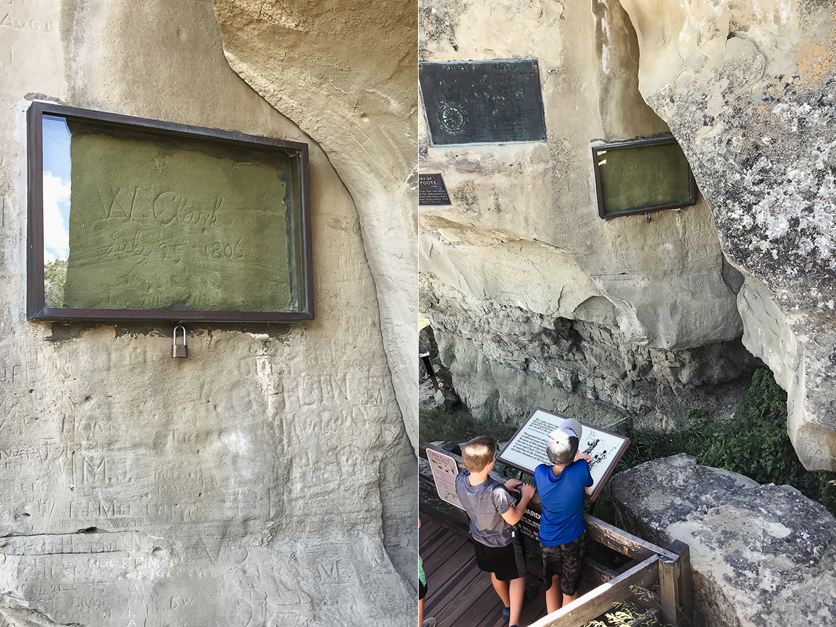
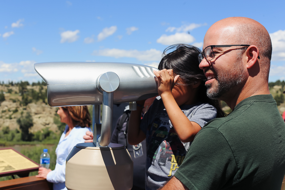
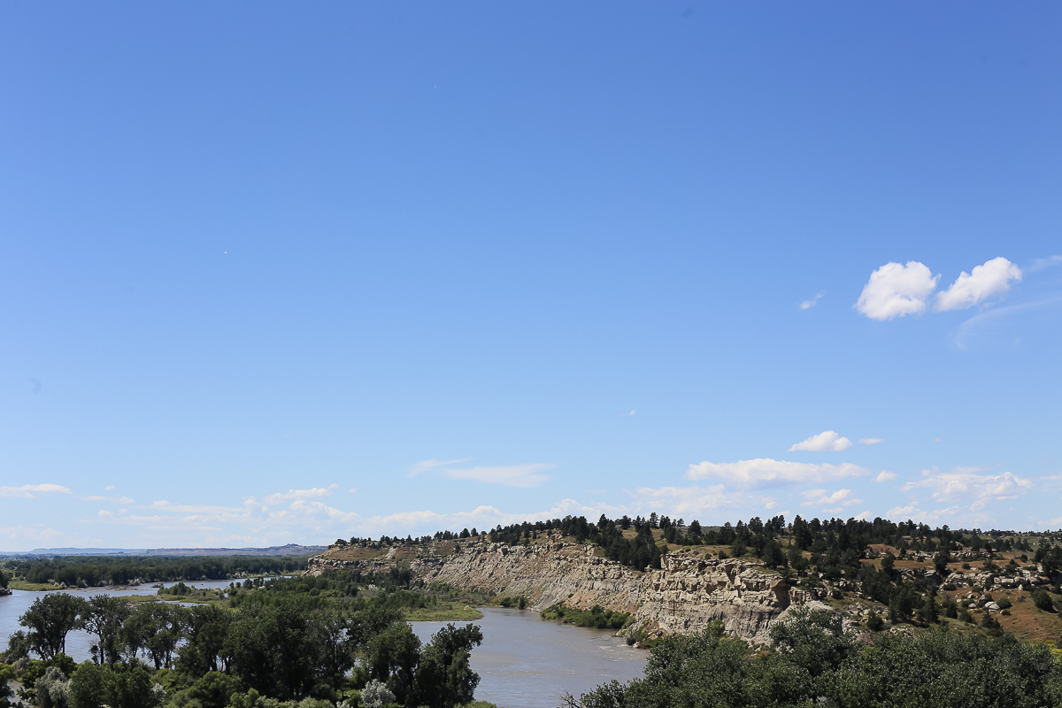
We studied US history and geography last school year. During the course of the year she developed a huge interest in the life of Sacagawea…she can tell you a ton of details. One detail is that William Clark nicknamed Sacagawea’s son “Pomp.” She knew we were in Shoshone territory and all she needed was to see the word “Pompeys” and she put it together.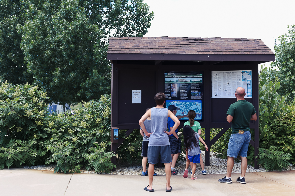 The Corps of Discovery (AKA Lewis & Clark, but not Lewis on this leg) reached this point on July 25, 1806. Clark engraved his name in a massive rock overlooking the area. The etching is preserved and is believed to be last on-site physical evidence of the expedition. I’m a history nerd, so I was crazy excited to climb the rock and imagine what the group saw and thought.
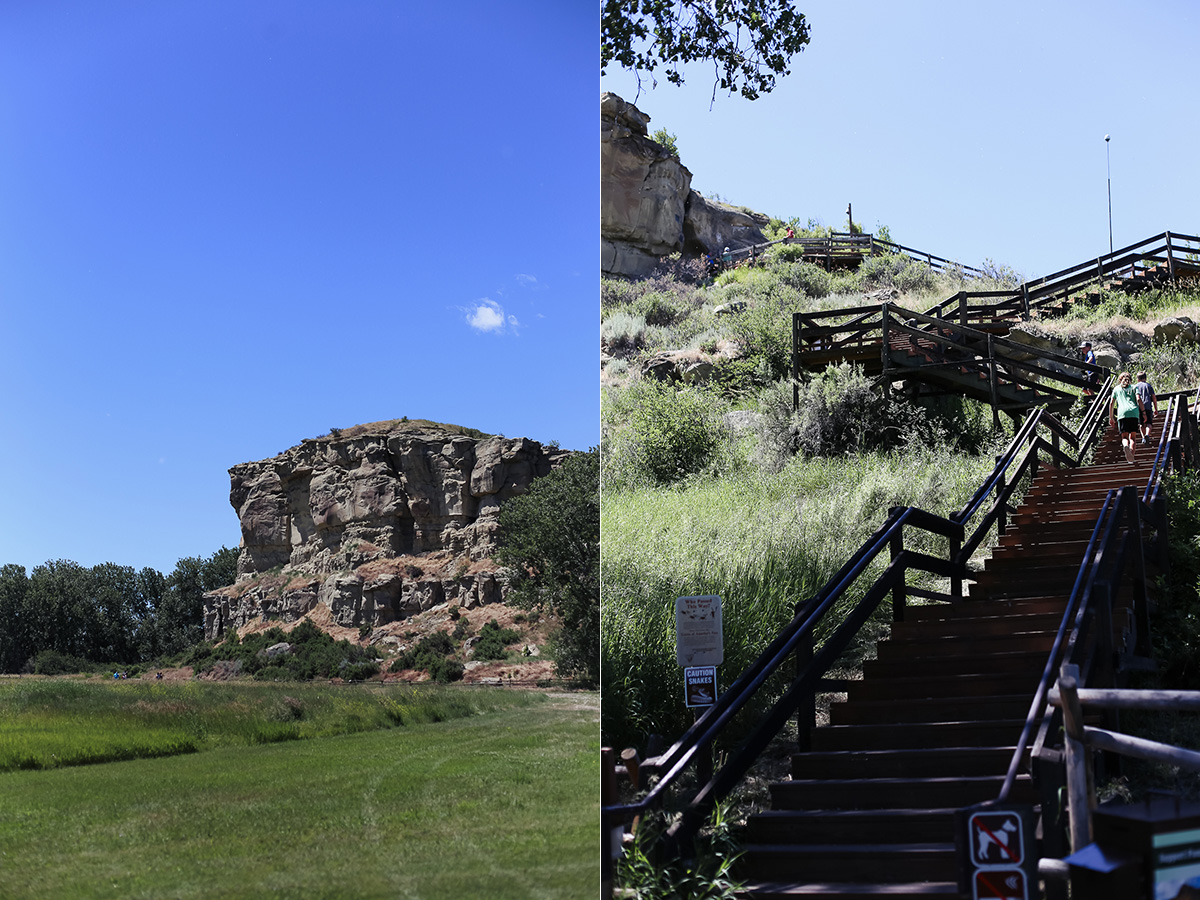
“At 4PM [I] arrived at the remarkable rock situated in an extensive bottom.This rock I ascended and from it’s top had a most extensive view in every direction. This rock which I shall call Pompy’s Tower is 200 feet high and 400 paces in secumpherance and only axcessible on one side which is from the N.E. the other parts of it being a perpendicular clift of lightish coloured gritty rock.” – Clark’s journal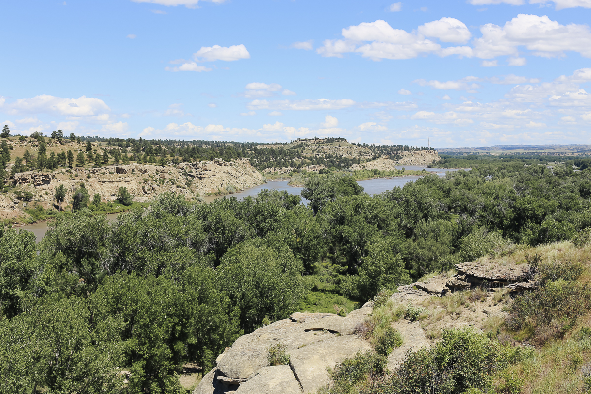
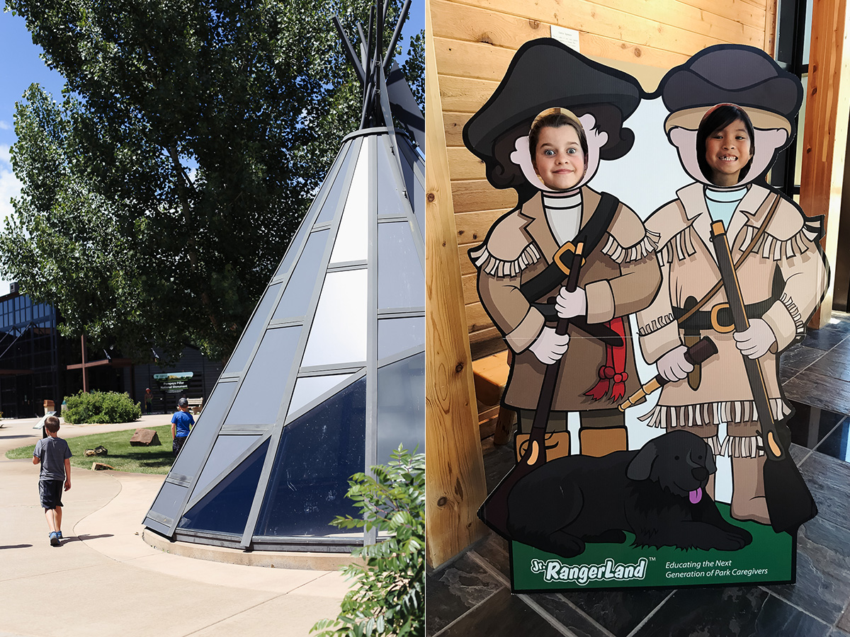
 The picture on the right is one of my favorites. I am typically not a fan of these photo cut-out things, but my oldest daughter’s face tells the story of her visit. She was not thrilled one bit that Sacagawea was not included as a cut-out. Anytime she hears a song or reads a book that says, “The Lewis and Clark expedition” she always adds, “and Sacagawea.” She is a total Sacagawea fan girl.
As a mom I can’t get over that Sacagawea made the journey with an infant son. Can you imagine taking your two month old baby on an expedition like she did? I read this on history.com and thought, “Yep, that is a mom for you!”
“Within a month (of departure), a near-tragedy earned Sacagawea particular respect. The boat in which she was sailing nearly capsized when a squall hit and Charbonneau, the navigator, panicked. Sacagawea had the presence of mind to gather crucial papers, books, navigational instruments, medicines and other provisions that might have otherwise disappeared—all while simultaneously ensuring her baby’s safety.”
Oklahoma is rich with Native American history and culture. The richness is born out of tragedy (Trail of Tears), but shapes our state in so many ways. I’m grateful for all we get to learn right here in our community, but it is also incredible to visit other areas of the country and let the history we study come alive as we stand in the places we read about in books.
For my oldest daughter, she can now say she stood where Sacagawea and Pomp once stood too. That is pretty cool.
_______________

